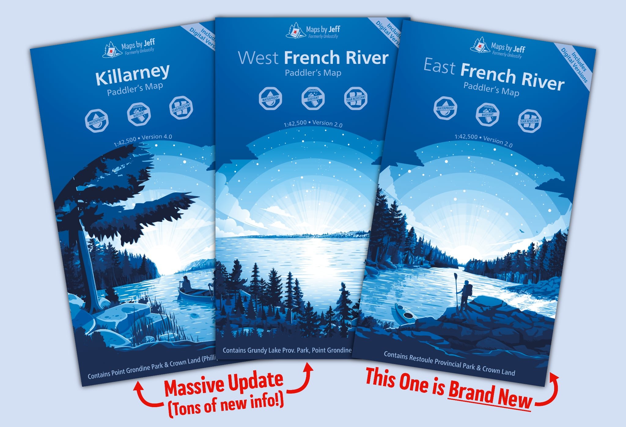
Maps By Jeff Launches La Cloche & Western Uplands Backpacking Maps

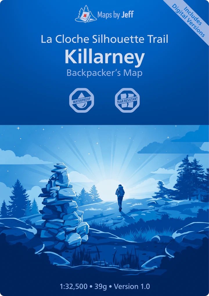
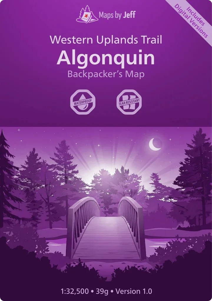
Jeff has been continuously busy after launching new maps for Temagami, Kawartha Highlands & Massasauga last Fall, then this year converting his maps to work with the ArcGIS Earth app. Now, a brand new set up maps have been released, this time catering to two of Ontario’s best hiking destinations the La Cloche Silhouette Trail in Killarney Provincial Park, and the Western Uplands in Algonquin Provincial Park.
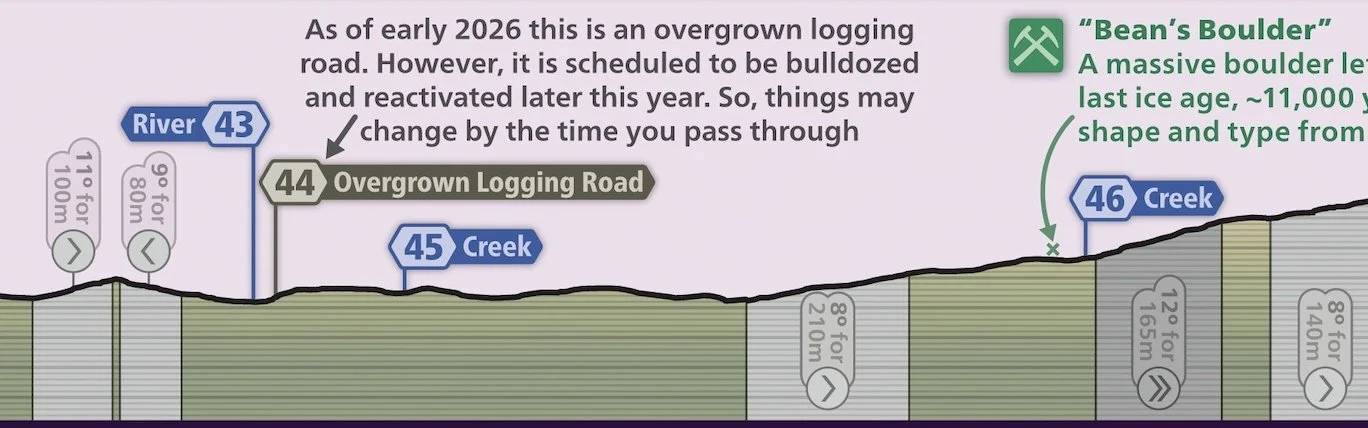
While both of these trails are included in the respective existing maps of Algonquin and Killarney, the new set of maps really flex their muscles in providing you the granular detail of each trail and what to expect. Each incline and descent is detailed in a very helpful side profile to help you both plan ahead and know what’s coming on the trail. The overhead is 1:32,500, and the side profile is 1:16,750. This type of information is absent from a backcountry canoeing map and that’s where these maps shine.
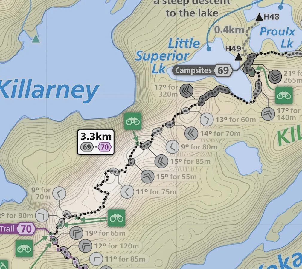
It also helps that each segment of the trail is broken down so you can easily pin-point where you are, how gruelling the next segment might be and whether you should stop for a rest or keep on trekking. As is typical of Maps by Jeff, there are numerous landmarks noted and little details about the area that might help you craft your journey. Perhaps there was a point of interest along a route you didn’t know about, and these maps will definitely help you create the best trip.
Each map weighs 39g and printed on waterproof plastic (no map case needed). The maps also come with a free downloadable digital versions too for iOS/Android (ArcGIS Earth & Avenza Maps), Garmin GPS, and Mac/PC (JPEG, Google Earth Pro & GeoTIFF).
Stay connected with Maps by Jeff by following him on Facebook and Instagram.