New From Maps By Jeff: Temagami, Kawartha Highlands & Massasauga


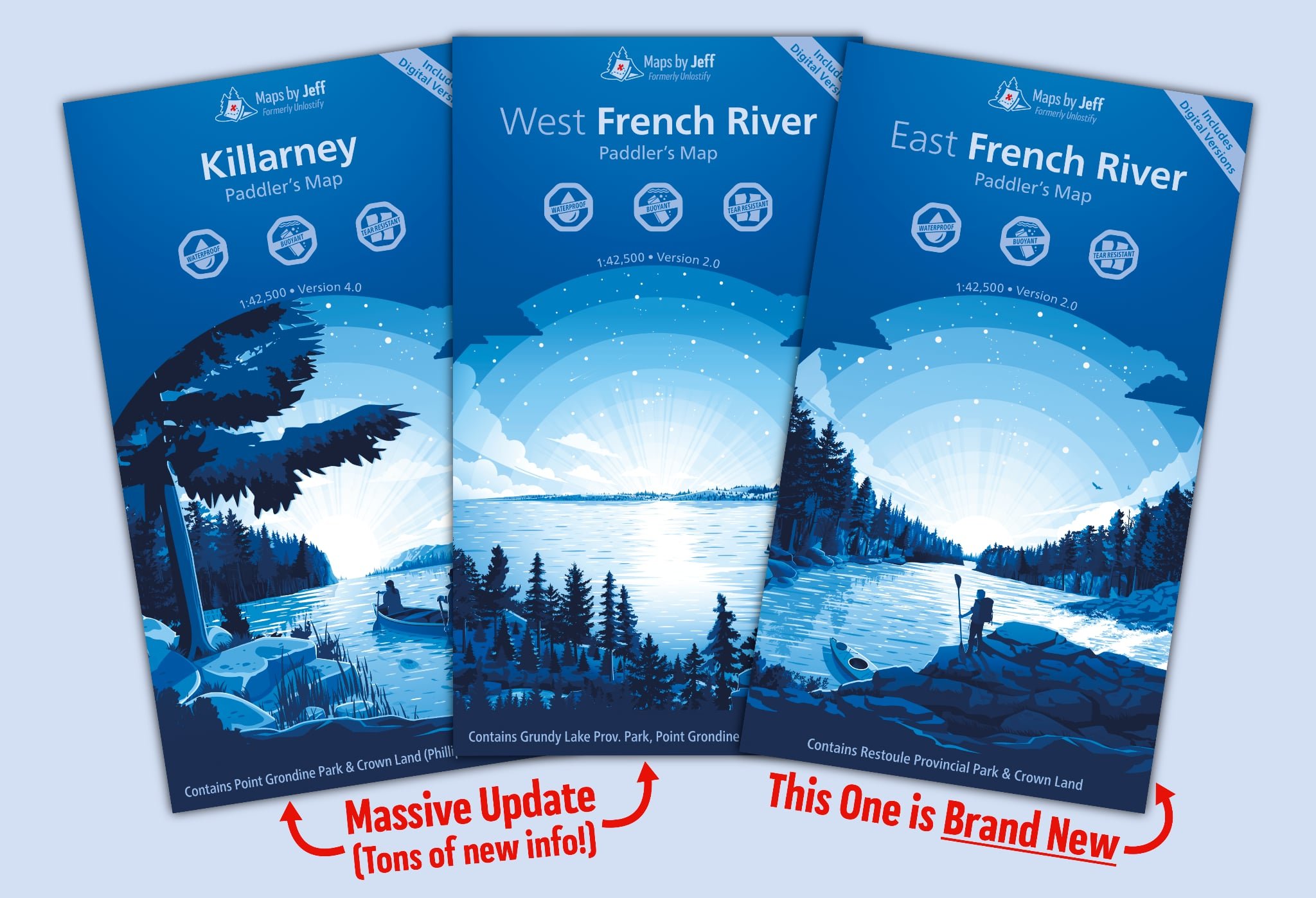
Jeff sure has been busy for the past year… and while he dropped some hints at our Backcountry Canoe Symposium back in April, the wait was definitely worth it. Maps By Jeff has released new versions of his Temagami, Kawartha Highlands & Massasauga maps!

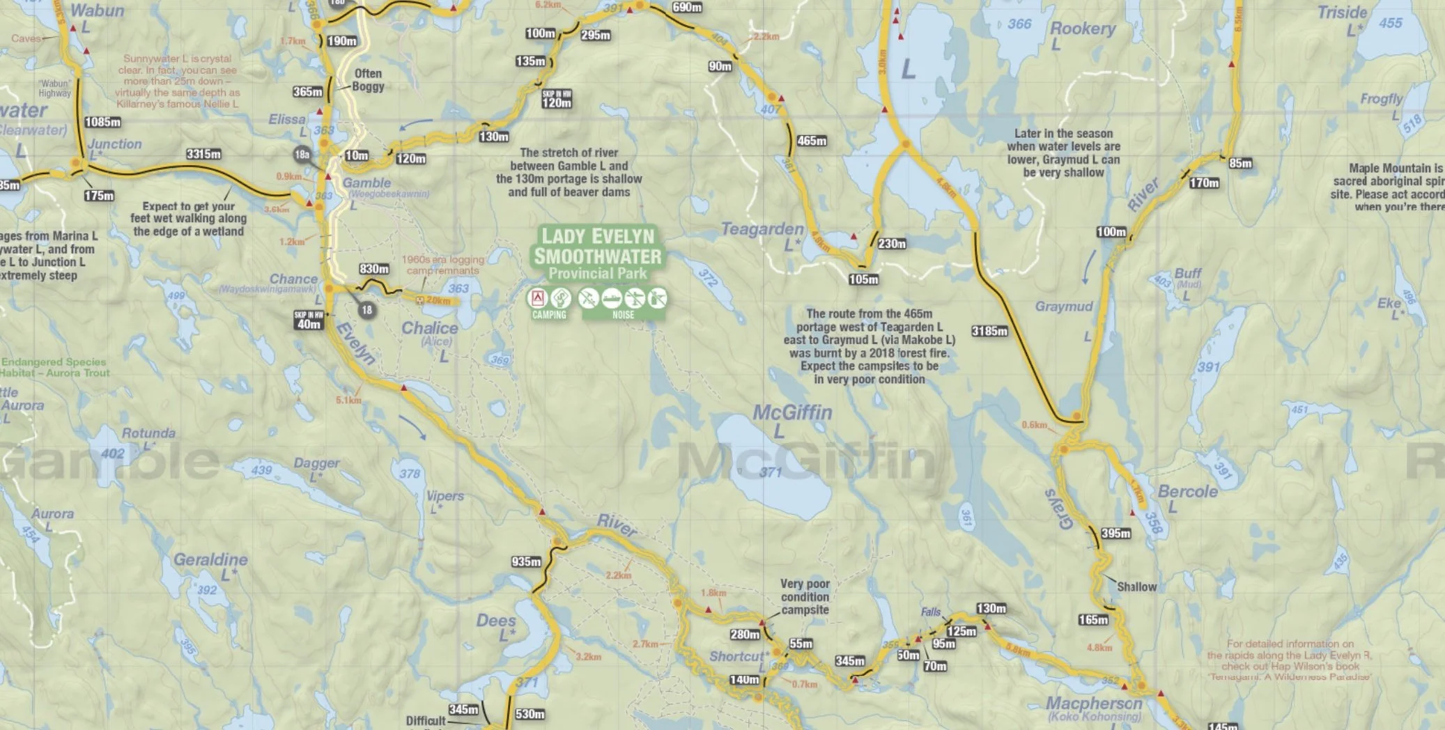
The Temagami map hasn’t seen an update since 2014 and has had an extensive make-over to make route planning as accurate as possible (we’re talking over 700 tweaks and corrections). The map details have also been zoomed in (from 1:84,000 to 1:60,000).

The Kawartha Highlands & The Massasauga maps have also undergone significant changes with both of them receiving more details by zooming in… Kawartha Highlands (from 1:45,000 to 1:25,000) and Massasauga (from 1:40,000 to 1:23,000). They have also received detail updates that were missing in the past such as portage profiles, points of interest along the routes and the updated route distance/travel times estimate. The canoe routes themselves have also been colour coded (Yellow/Orange/Red) so you can see which ones are easier paddles versus more challenging. Also new for the Kawartha Highlands & The Massasauga maps are ‘Adventure Routes’, which are old forgotten routes that are for the adventurers at heart (but come at a little bit of a bushwhacking challenge).
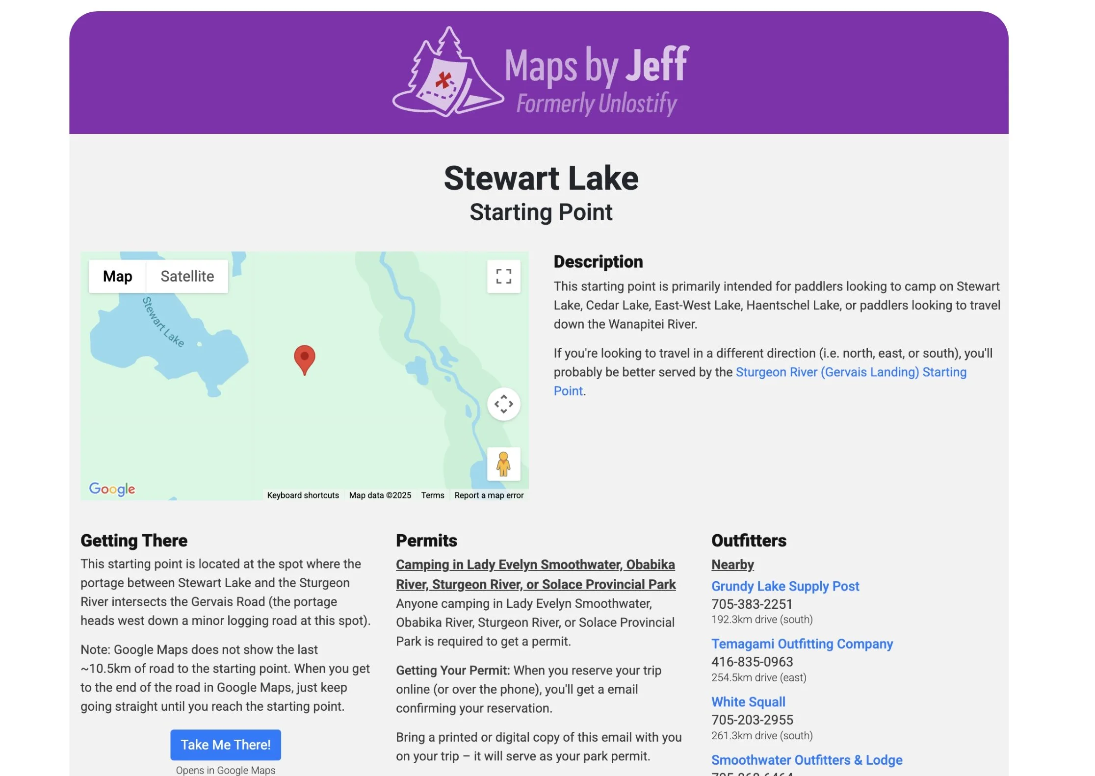
Don’t forget that purchases of these maps also include digital versions, AND there are starting points for each of the put-ins with full descriptions of how to find them, and handy resources within the surrounding area.
There are discounts for purchasing two or more maps, and for those that have bought a previous version recently, Jeff hasn’t forgotten about you. There are discounts listed on his website so you can upgrade to one of the newer versions.