Maps By Jeff Releases New Killarney & French River Maps
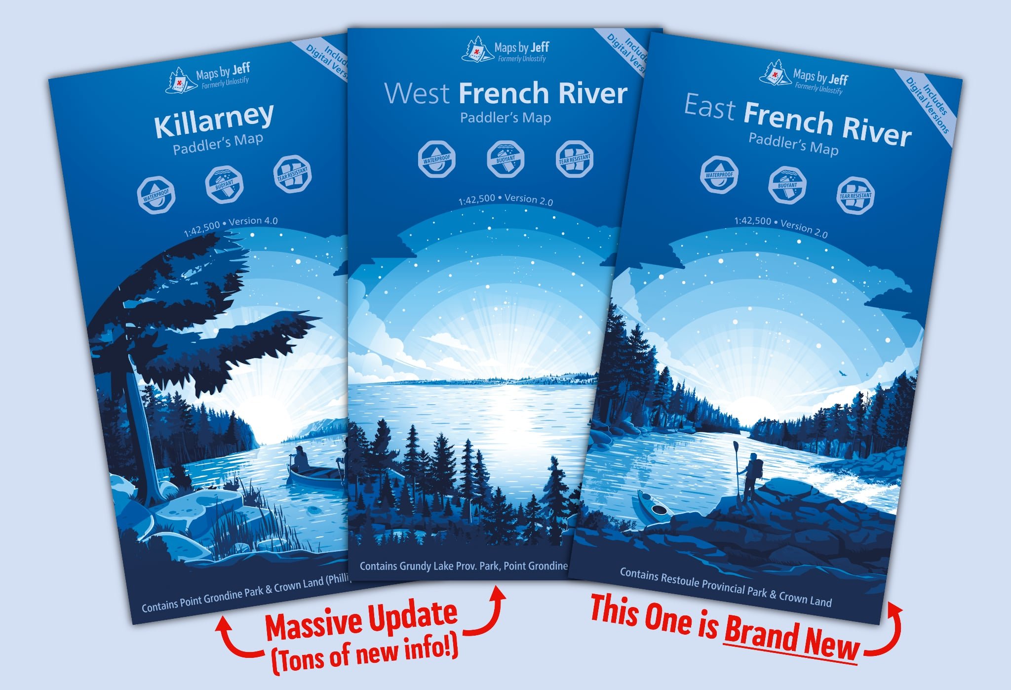
Jeff McMurtry had a huge update today as Maps by Jeff released a long awaited updated map of Killarney as well as not one, but two maps for the French River! These new maps bring all the new features of the new Algonquin maps along with the new look. Interestingly Jeff has tweaked the maps from 1:62,500 to be 1:42,500 to allow for even more details.
Enjoy knowing…
where all the hills are as well as how long and steep they are thanks to the portage elevation profiles.
how tough a particular portage is through detailed route colour-coding.
where to find old, forgotten routes that no one has travelled in centuries.
distance and estimated travel times, calculated by fellow canoeists like you.
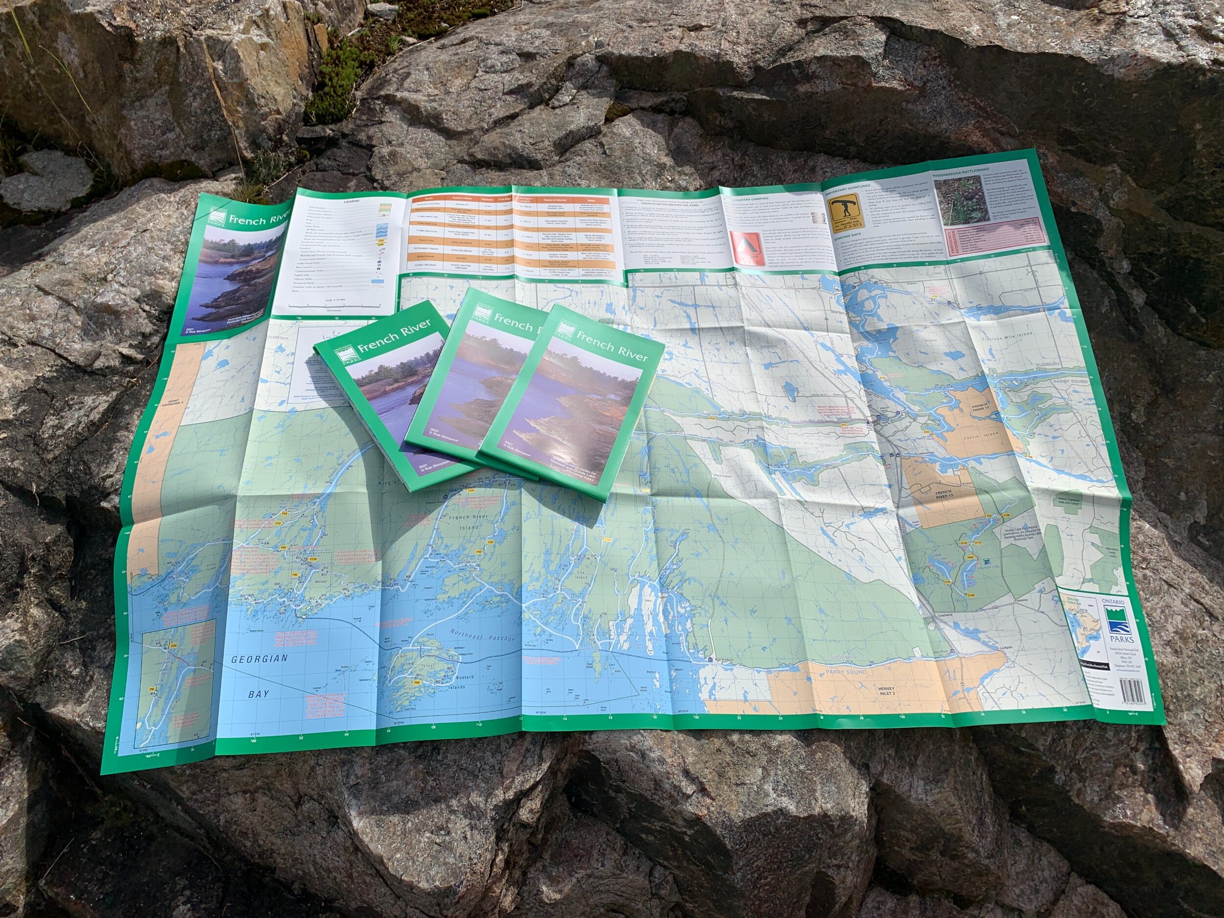
The updated Killarney map replaces the older Unlostify version that is already showing its age.
The French River update replaces the older West French River AND adds an East French River map which covers Highway 69 to Lake Nipissing (this also includes the Restoule River and Shoal Creek).

There are significantly more points of interest:
4x as many Nature points of interest
e.g. life science, earth science, lookout points
3x as many Historical points of interest
e.g. old ruins, ranger cabins, fire towers
Plus, there are a bunch of new types of points of interest – to name a few:
Sport Fishing (including trout, bass, walleye, pike and muskie)
Cliffs
Recent Forest Fire Sites
Notable Painting Spots
Each copy of the map includes five different digital versions (Avenza, Garmin custom map, high resolution .jpg, a Google Earth file, and a GeoTIFF). Bonus: If you buy both French River maps, you'll also get digital copies that cover the entire French River in a single file. Order your copy today!