CalTopo Updates Satellite Imagery Using Vantor
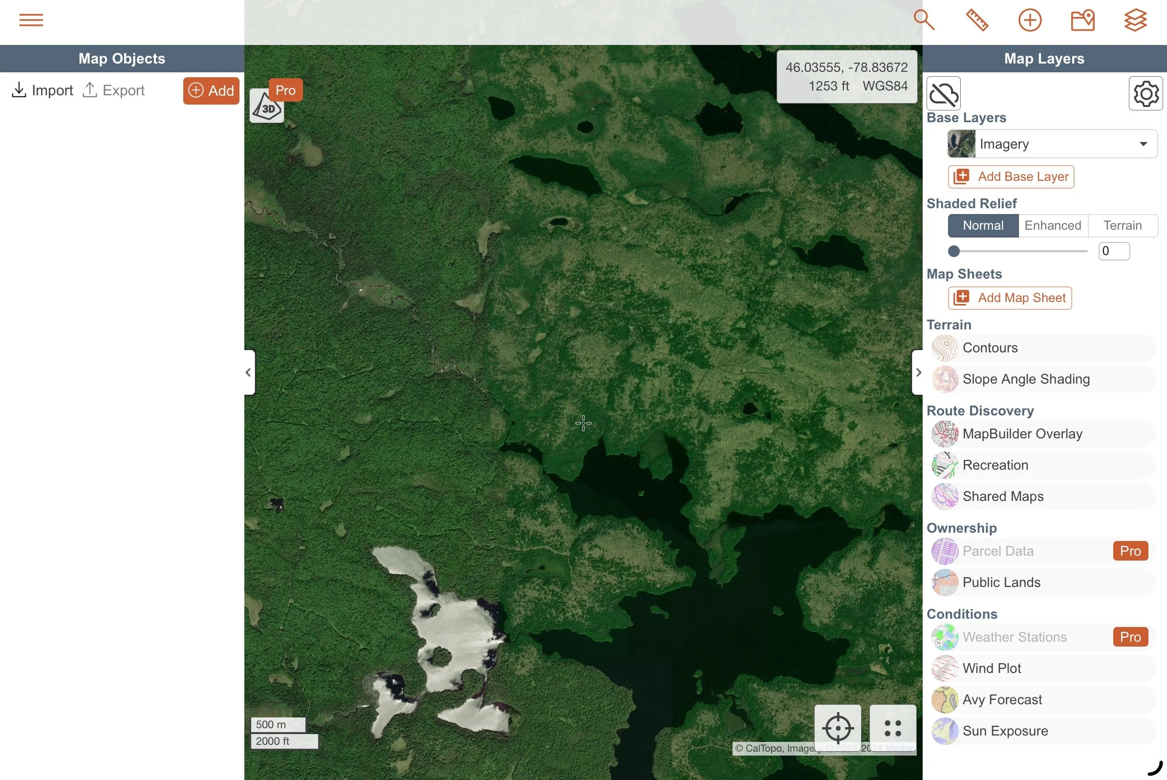
CalTopo has switched from using satellite imagery from Maxar to using a new service from Vantor so if you either print (PDF and JPG) or download offline, you will see new, higher resolution imagery in this map layer.
“We are excited to address many user requests over the years for higher resolution downloads outside of the US, specifically in regards to imagery losing resolution when downloaded or printed in these areas in the past.”
So far it looks great, although I’m not entirely sure about the data when you are fully zoomed in, it looks very pixilated to me vs. the previous data.
If you are using CalTopo online on (web or mobile) or printing, you won’t need to do anything differently to access the new imagery. If you have previously downloaded imagery on your mobile device for offline use, you will need to update your downloaded tiles.