'Map My Portage' Helps You Digitally Plan Your Canoe Routes
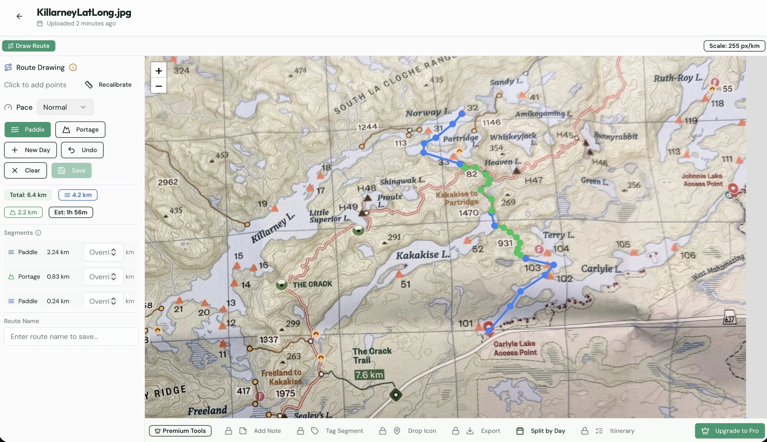
Snapped a photo of my LatLong map for Killarney and easily mapped out a route. I appreciated the ability to Zoom in and out to plot route points.
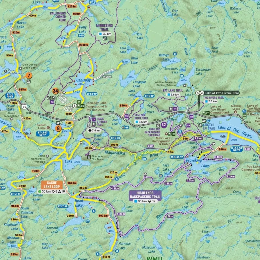
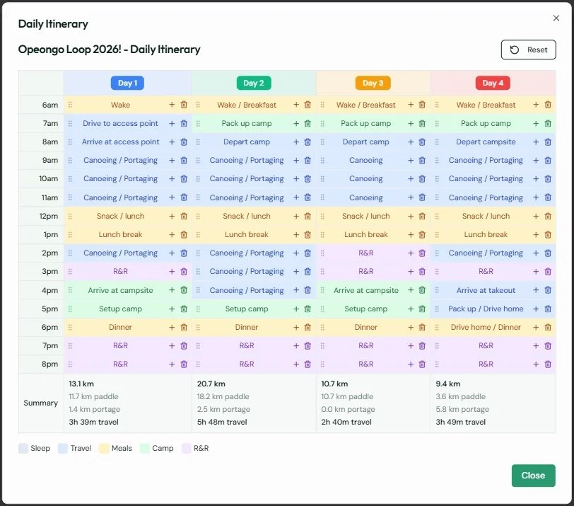
Map My Portage is a new website that helps you plan your next canoe trip a little more diligently. Unfold your favourite tripping map and snap a photo of where you’re headed. Upload it to the website, tell it what the scale of the map is, and then start drawing out your route including both paddling and portage sections of your journey. It will break down for you daily summaries, including sharable coloured routes.
“I built this because I am the trip leader for my portage group, and every year I’d end up managing a mess of Google Drive folders, Excel sheets, and scattered messages just to share route plans and daily breakdowns. I wanted a simpler way to keep everything in one place — where you can plan your route, see travel times, and share a clean itinerary with your group including meal plan.
If you’ve got a trip in mind, I’d love for you to try it and let me know what works, what’s confusing, or what features you’d want added. This is very much a tool built by a paddler, for paddlers.
Thanks and happy planning!”
Check out the sample Big Trout Lake route to see what a multi-day plan would look like.
You can also upgrade to Pro to unlock the following features..
Waypoint Notes - Add notes to any point on your route
Segment Tags - Mark segments as Scenic, Challenging, etc.
Custom Icons - Drop campsite, rapids, and hazard markers
Offline Export - Download routes as PDF for offline use
Day Splitting - Organize your route by days
Daily Itinerary - Auto-generated hourly schedule
AI Meal Planner - Generate meal plans with grocery lists
There is a 7 day free trial for the Pro account and if you enjoy using it, Pro is $3.99 a month or $20 a year.