New Killarney Canoeing & Hiking Map From LatLong

LatLong surprised us with a brand new, completely unannounced map of Killarney Provincial Park and it is wonderful. If you haven’t head of LatLong before, be sure to check out our interview with map maker Arnaud Icard to learn more, but he has already put out maps for…
Wolf/Crab lakes and area (part of Kawartha Highlands Provincial Park) - $14
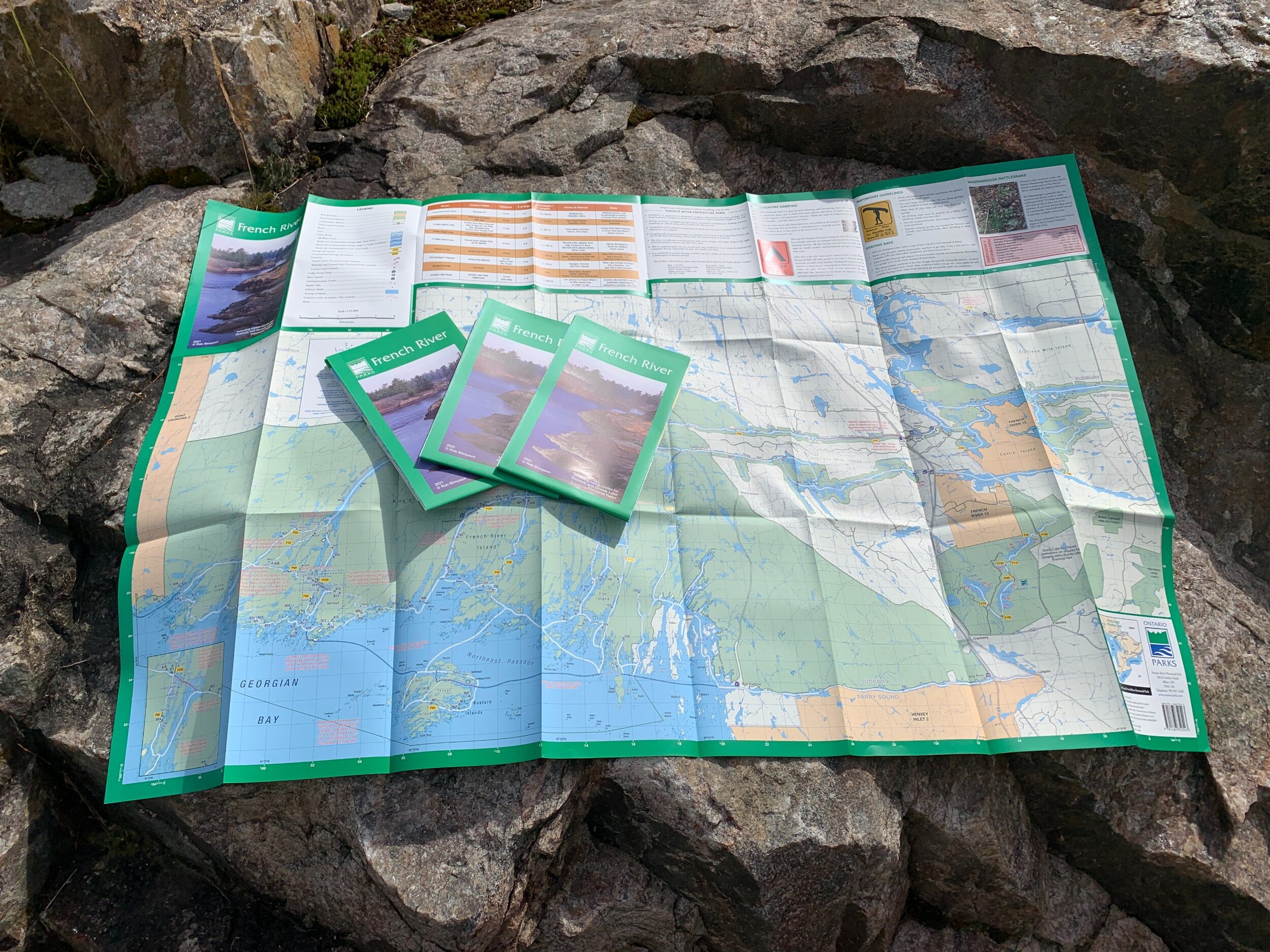
The brand new Killarney map is his biggest undertaking to date, and it really is a beautiful map. No glossy sheen, just a very easy-to-read set of two maps that I swear just feels like ordinary paper but is tear-resistant, waterproof and grease-resistant.

The map scale is 1:65,000, includes all of Killarney’s new campsite numbers and is fully up to date on all portage routes, hiking trails and campsite locations. The two maps focus on the park in an East/West profile…
East: Bell-David, East Panache
West: Northwest Loop
… with Map 1 also being a perfect companion if you were hiking the La Cloche Silhouette Trail.

The map’s refined colour palette makes it very easy on the eyes and points of interest are easily discoverable.

Included in the nifty enclosure with the two maps is a handy booklet that covers everything from how/when to reserve a site, to some of the best canoe and hiking routes in the park. There is also a little ruler to help plan your route and determine distances.
If you’re planning your next trip to Killarney, be sure to pick up this map for $22 through the LatLong online store, or also check out one of these fine establishments…
Canadian Outdoor Equipment - Mississauga
The Complete Paddler - Etobicoke
London's Paddle Shop - London
Outdoors Oriented - St. Catharines
Wild Rock - Peterborough
The Trip Shed - Online store