Check Out The New Version Of Paddle Planner In Public Beta
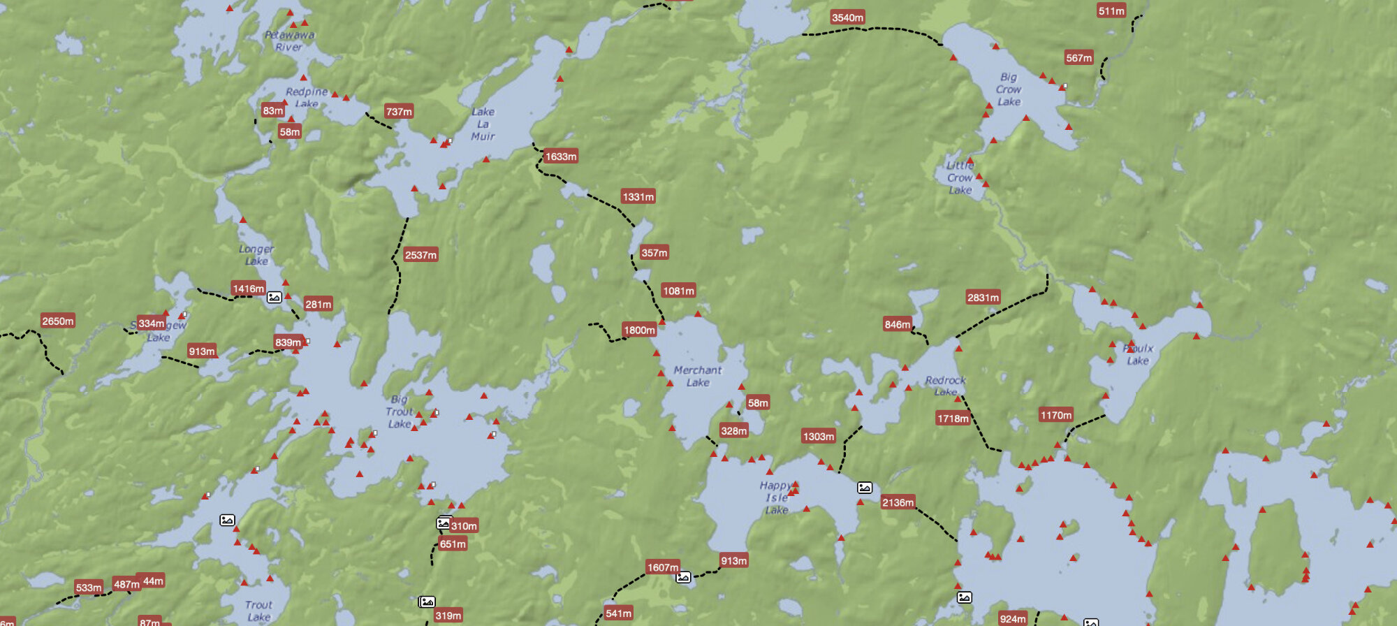


The handy route planning website Paddle Planner has not only turned 10 years old, they have created a whole new modern website that has entered public beta. Through the website you can calculate estimated travel time and distance as well as find campsites, portages (and there are even options for single/double/triple carry!) and then export the route as a .GPX or .KMZ file for your GPS/App. The whole website is pretty slick. With the new version there are some major updates for Algonquin Provincial Park but you can also use it to help plan trips through BWCA, Quetico, and Wabakimi.

If you upgrade to a yearly membership (Ranging from $19.99 for ‘Map Enthusiast’, to $29.99 for Premium), you will unlock additional features such as…
Fullscreen Mode
Save and Load
Export to KMZ, GPX and JPG
Advanced Routing Options
Unlimited Trip Length
Be sure to give it a try and send in feedback if you find any errors.
Stay connected with Paddle Planner on Facebook & Twitter and engage with fellow paddlers in their forums.