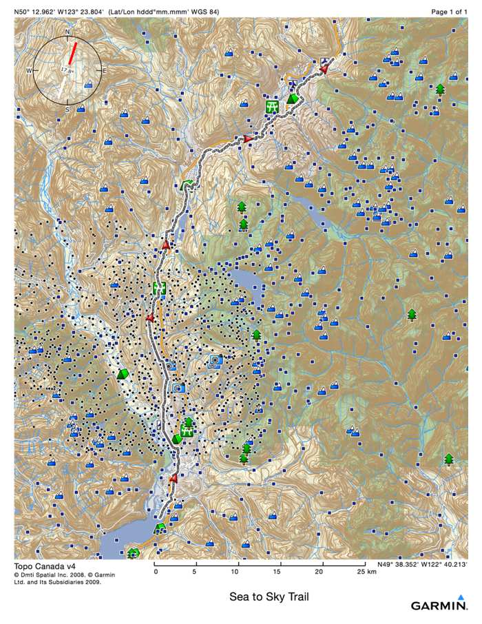
Sea To Sky Backcountry Map Launches


The Sea to Sky Backcountry map by Eric Carter and Evan Stevens is now available. The map covers the Stawamus Chief and Shannon Creek Basin areas…
High resolution 1:12,000 scale - larger scale than any other map in the corridor.
Covers 24 sq km including Stawamus Chief, Mt Habrich, Sea to Sky Gondola, Sky Pilot and the Ledge Basin.
31” x 21” map printed on waterproof/tearproof paper.
Primary goal of map design is clarifying safe access routes for ski touring/winter use.
Additional resources available on the website including downloadable digital tracks, additional topo photos and detailed descriptions.

With search and rescue being called in so frequently this year, the map makers really wanted to help out the backcountry enthusiasts from getting into trouble…
We’re really encouraging people that information is power and it helps you make better decisions and be safer, but we also need a plan to be prepared in the backcountry.
The map includes 30cm accuracy satellite imagery from March 2020, combined with custom DEM contour lines and our personal dataset of lines and routes.
Purchase a copy of your map now for $25.