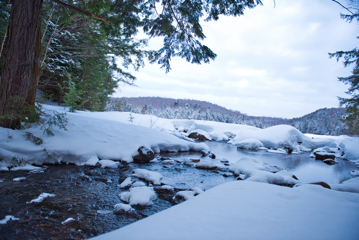
Backcountry Planning: Route Information & Resources for Ontario

Here's a great primer video from Brad Jennings at Explore the Backcountry to help you prep for your next backcountry camping and canoeing trip in Ontario.
- Crown Land Use Policy Atlas (How to find Crown Land)
- Crown Land Info & Non-resident Permits
- Ontario Parks
- Ontario Parks Backcountry
- Ontario Parks Locator
- Ontario Parks Reservations
- Ontario Parks Backcountry Permits (For the 4 parks)
- Ontario Parks Management Plans
- Ontario Parks Conservation Reserve Plans
- Haliburtion Highlands Water Trails
- North Frontenac Parklands
- MyCCR (My Canadian Canoe Routes)
- Mytopo
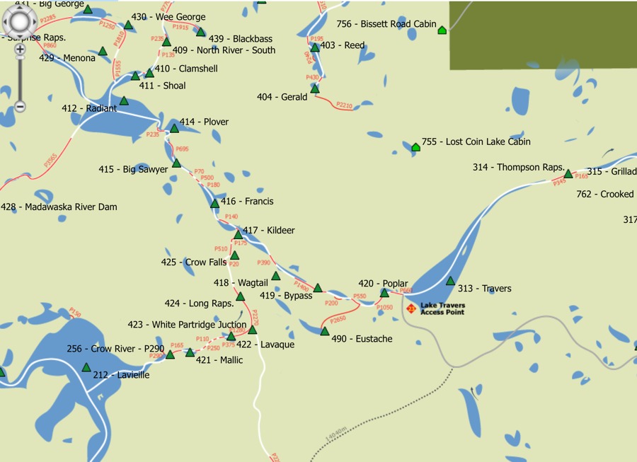
- Explore the Backcountry Map
Other Online Backcountry Planning Maps
- Unlostify (Killarney, French River, Kawartha Highlands, The Massasauga)
- Jeffs Map (Algonquin, Killarney, Temagami, Lake of Bays, Topos)
- Explore the Backountry (Queen Elizabeth II Wildlands)
Evan Holt