The Friends Of Temagami Are Creating New Canoeing Maps


At the beginning of December last year, the Friends of Temagami announced that they had hired Sarah Bencic as a resident cartographer. Since then she has been hosting Instagram Live sessions over on the Friends of Temagami’s Instagram account going through all sorts of interesting details about what is to come, and her background on map making. If you have missed any, we highly recommend getting caught up by watching the videos over on IGTV... then tune in Monday nights for “Meet the Map Maker Monday” as more sessions are coming.
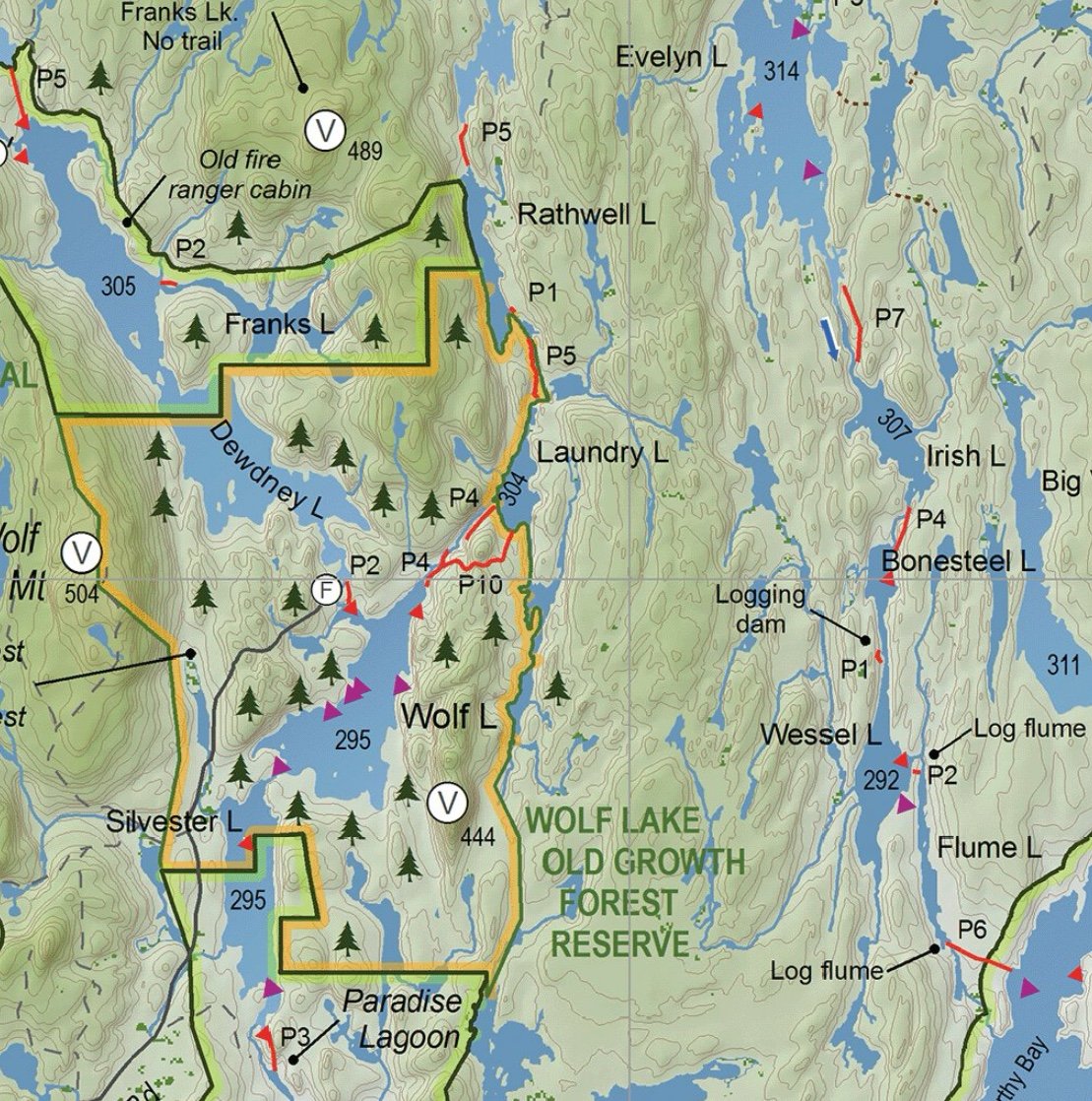
Sarah’s background in GIS and passion for mapping (and respect for the land itself) will be poured into the new maps which will include six waterproof double-sided maps. These maps will also be downloadable so that you can you them with your GPS or mobile mapping apps such as Avenza Maps (Never used it? Check out our 60-second look at Avenza).

Sarah did hint that the covers would reflect photos from actual spots found within each map (and they are looking for your photo submissions! Submit your best Temagami photos here), and that trails and logging roads would be included. The maps will be in projection UTM zone 17N and the data will be ground-truthed by members of the Friends of Temagami. Other data that might be included in the final maps include lake-depth data and fish locations.
In addition to the six double-sided maps that will cover tripping within the entire park, there will be two single-sided maps that will be more poster/art-piece oriented. There will also be a new version of the previous map with more updates.
To learn more, head to the Friends of Temagami's website and stay connected with the Friends by following them on Facebook, Instagram and Twitter. You can also help support the Friends of Temagami by becoming a member today!