AllTrails App Hits 5.0


AllTrails just released version 5.0 of their handy trail-finding app and its clean interface makes the app a joy to use! The redesign keeps it simple to search for trails near you by rating, length, activities, difficulty, and accessibility.


Flick your way through the trails (the results are much better than version 4's) to choose one that suits your liking from the 50,000 trails listed North America wide. There are reviews to read when deciding, and a short description of what the trail is like.
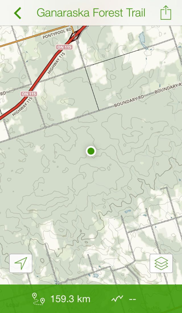
AllTrails will use your mapping app to give you directions to the trail, then once there you can check in, record your hike, and snap photos of it's splendour. The slickest part is clicking the "View Full Map link which gives you a full topographic map of the area.
Upgrade to the Pro version to unlock the offline trail database, use the map editor (and export .gpx files) and even print the maps from home. Pro also gives you the ability to use the National Geographic Topo and Trails Illustrated maps.
The app itself is free and you can download it from the iTunes Store or the Android Market. Stay connected with AllTrails by liking them on Facebook and following them on Twitter at @alltrails.