Three GPS Hiking Apps for the Apple Watch

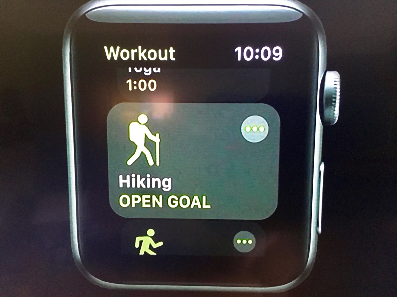
Update: June 4, 2018 - At their annual World Wide Developers Conference, Apple just announced that Hiking will be a selectable choice from your workouts in the upcoming watchOS 5.
Update: September 12, 2017 - Apple announced the Series 3 Watch that includes cellular functionality. It also features a barometric altimeter that assists with tracking activity, flights climbed and outdoor workouts, including elevation gain. Perfect for hiking!
Update: September 8th, 2016 - Apple announced the Apple Watch Series 2 (read our coverage here). We're also checking with these app companies to see if they have plans to encorporate the new GPS watch functionality in future versions of these apps and will update this post as we find out.
The Apple Watch is finally available for purchase, and we thought we'd look at three new apps for when you are out hiking (All of the computational work is currently done by your iPhone, so you will still need to bring it along with you)...

Trails
Trails lets you record your outdoor adventures (along with various statistics including altitude, ascent/descent, speed, pace, and duration) while displaying real-time statistics. The app also offers offline topo maps (once you upgrade to Trails Pro) and .GPX file import. Glance view shows you a quick overview and the app allows you to stop recordings, mark waypoints and begin new segments.


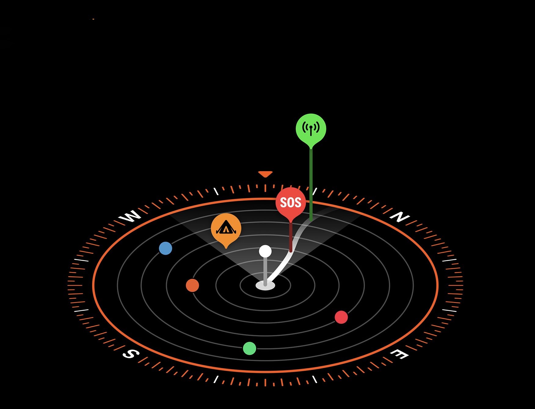
ViewRanger GPS
ViewRanger GPS (which includes OpenStreetMap and Bing Ariel Imagery) gives you access to a repository of worldwide routes and lets you share them with others. Glance view lets you know your coordinates, altitude, heading, plus distance to the next waypoint) while the app itself will let you start, pause and restart tracks. Canadian maps are an extra in-app purchase.


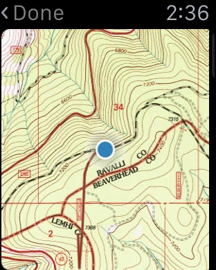
Gaia GPS
Gaia GPS gives you access to offline topographic maps, import .gpx files and record tracks.