Jeff's Maps of Algonquin Park Available in Stores

Jeff's Map is the perfect companion for anyone looking to canoe, camp, plan or is exploring Algonquin Park.
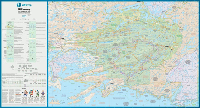
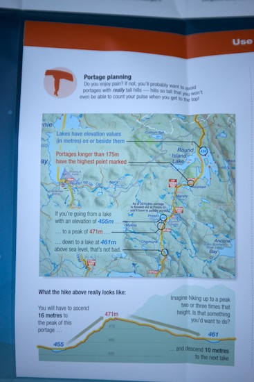
The maps are newly updated, completely waterproof, tear resistant and are chock full of humour and tidbits about local nature, skippable portages, obstacles you will face and access points. Each map is at a scale of 1 : 80,000 and are highly detailed.
After years of fustration with the poor quality of the existing park maps that lead to me finding myself tired and hungry at days end, I designed my own map using books, historic maps, GPS data, trip reports and thousands of corrections from hundreds of Algonquin enthusiasts. Now being used by new canoeists and park staff alike, it's the map I always wanted!
Jeff's Maps are $15 each and are available at your local outdoors store or you can purchase them from Jeff directly. There are four different versions, as each map breaks up Algonquin into quarters, so make sure you purchase the right one (or all four!).

Evan Holt