MNRF Makes It Easy To Download Historic Bathymetry Maps

The Ontario Ministry of Natural Resources and Forestry have made it super simple to download archived bathymetry maps from around the province through their GeoHub website…
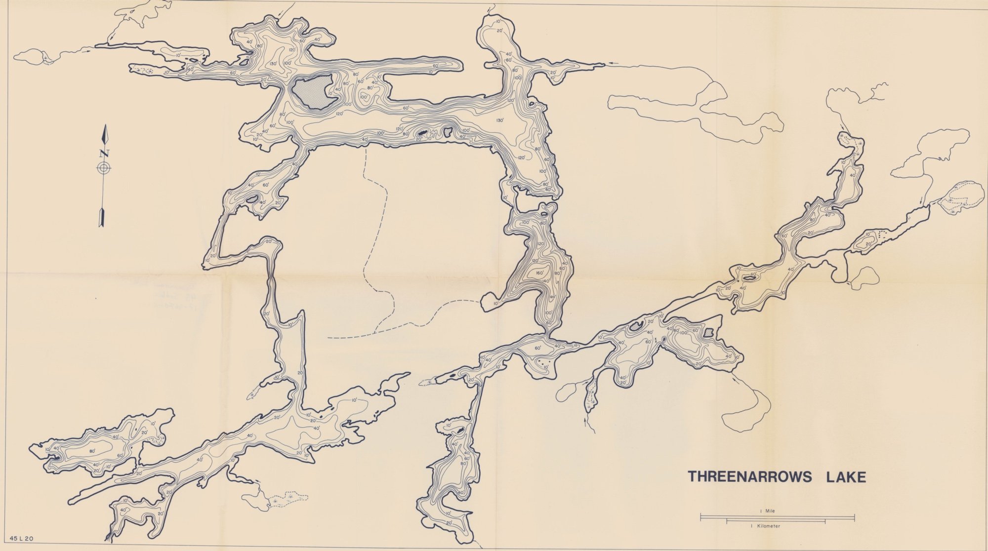
It’s now easier to access our historic bathymetry maps through Ontario GeoHub! Our collection has over 11,000 maps with lake depths from the 1940s to 1990s.
To access the maps, search for ‘Historic Bathymetry Maps’ in Ontario GeoHub. Use the map to zoom and click the lake you are interested in and the Historic Map Downloads links will appear in the pop-up box.
Users who require access to all maps can still access download packages from the Full Details page.
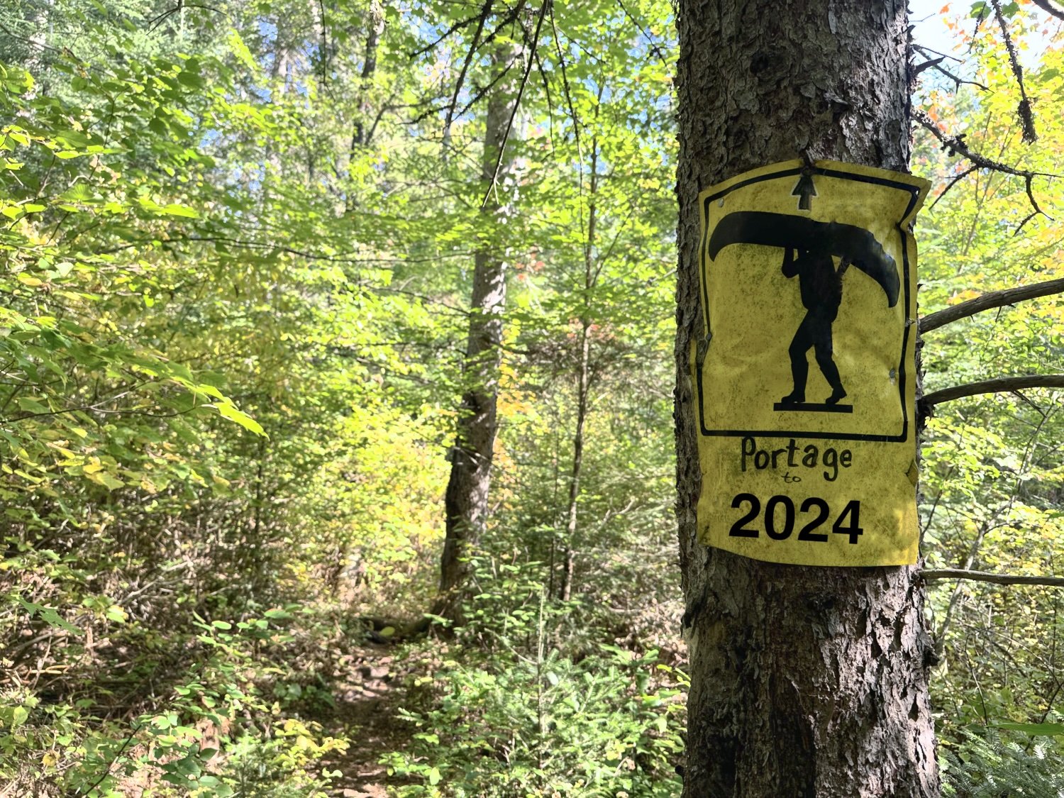
Some lakes have multiple versions to download, are a decent size and are great for printing off as art or to see lake depths for fishing (although due to their age they shouldn’t be used for navigating on your next canoe trip).