New Canoeing Maps From Unlostify


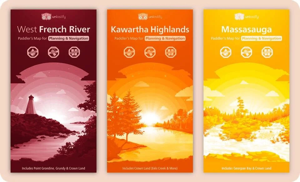
Unlostify just took the wraps off new canoeing maps for Killarney, French River, Kawartha Highlands, and Massasauga today. Boasting a clean and simple design, colour coding for difficulty ratings, interesting landmarks and paddling & portaging times, these maps look to be quite robust.

“Growing up, I always had an interest in camping, but my experience was limited to car camping with my family. I thought that going camping with a canoe and portaging, were these grand ideas that only super outdoors-y people did.
Until a few years ago. Enter Jeff! By chance, I met a friend who happened to love camping and even made his own maps! I’m sure you all know of him (formerly of Jeff’s Map).
Through Jeff, I learned more about canoeing and camping, and eventually, we went on a trip together. That got me over the hump of canoe camping being just an idea, and turned it into a reality! I was hooked.
While I started out as a complete newbie, in very short order, I was thrust into the deep end (e.g. climbing up a “hill” that I would define more as a “small cliff”… Thanks Jeff!). I came out the other side alive, and loving it!
Although I loved that experience, I can see someone else reacting… differently. I think this has given me a unique perspective. I can understand what a complete newbie (like I was!) might feel, but also the love that some experienced campers have, for more challenging routes.
To conclude this long ramble, I hope that you’re intrigued enough to go check them out. I’ve put the drafts of each map online at http://www.unlostify.com (Go now, they’re super awesome!) and there’ll be free downloads when they’re done next spring.
Please contact me if you have any corrections or see anything that could be improved!”

Sample legend from the maps
Evan Holt