New B.C. Waterproof Maps From Backroad Mapbooks

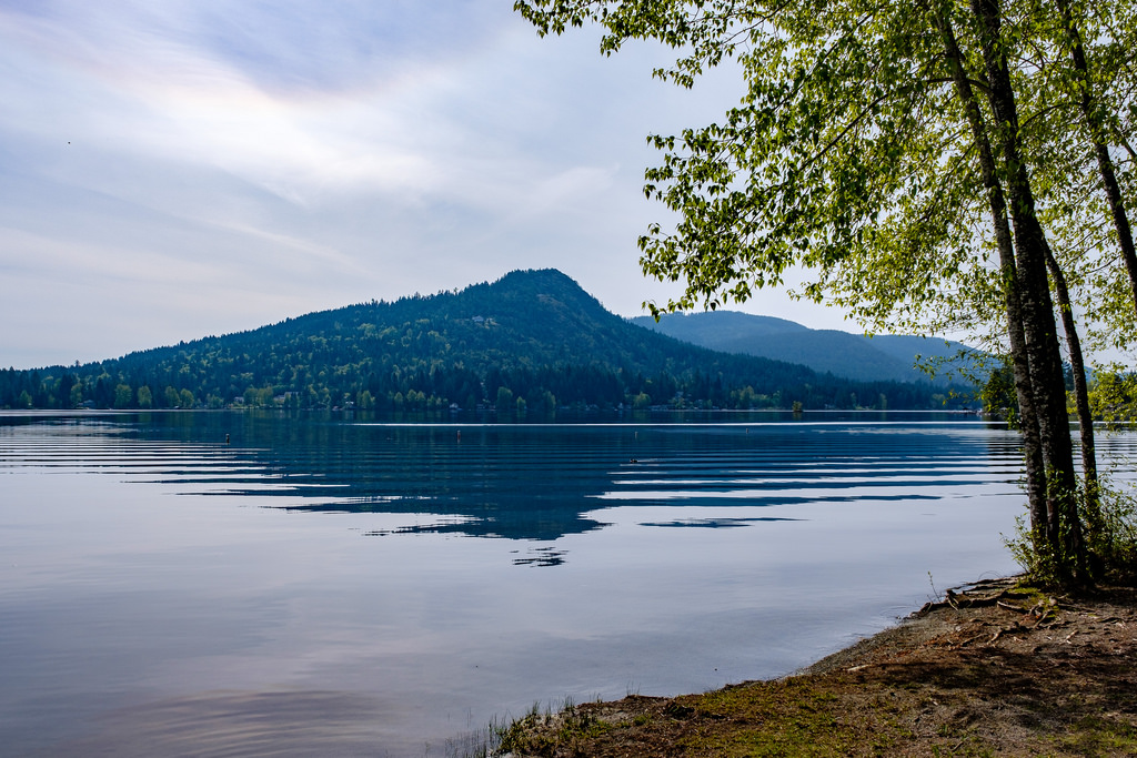
Backroad Mapbooks has announced new waterproof maps for East Kootenay, Okanagan Valley, Haida Gwaii (Queen Charlotte Islands) and Northeastern British Columbia. If you're looking for a new spot to hike, camp or paddle, these maps are the perfect companion.
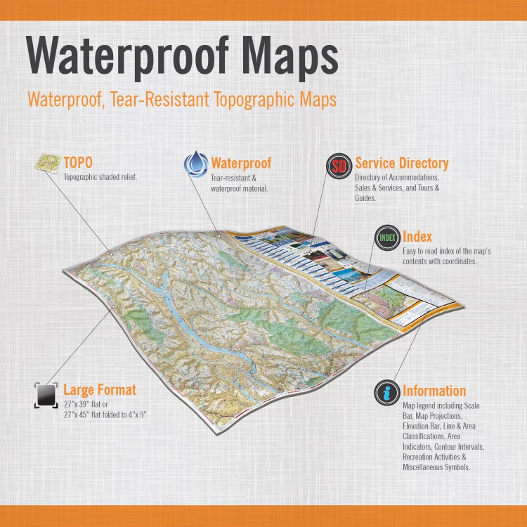
- Printed on tear-resistant paper
- Waterproof paper allows usage in all weather conditions
- Detailed shaded relief
- Two maps in one – Different maps printed on each side
- Boundaries/Area Indicators – Colour-coded boundaries showing hunting areas (WMUs), National & Provincial Parks, Recreation Areas, Conservancies, Ecological Reserves, First Nations, Glaciers, Protected Areas, Restricted Areas, and more
- Extensive Road Network – including industry, forest service, resource, recreation, highway, city and rural roads
- Trails – Clearly marked multi-use and motorized trail systems (ATV, hiking, mountain biking, horseback riding, cross-country skiing, snowmobiling, and more)
- Paddling Routes – Clearly marked canoe and kayak routes including portage distances, access points and more
- Activity POI’s – points-of-interest, including campsites, recreation sites, boat launches and canoe access, fish species, trailheads, scenic viewpoints, and more
- Geographic POI’s– Hundreds of place names and cities, mountains, lake and stream systems, and more
- and much more!
The new maps join other waterproof maps...

British Columbia
- Bulkley-Nechako (Smithers to Vanderhoof)
- Campbell River and Strathcona Park
- Cariboo Region
- Chilliwack and Merritt
- Kamloops and Interlakes
- Prince George and Mackenzie
- Vancouver Island (BC Central)
- Vancouver Island (BC North)
- West Kootenay
Ontario
Stay connected with Backroad Mapbooks by following them on Facebook and Twitter.
Evan Holt