Ontario Now Has an Invasive Species App
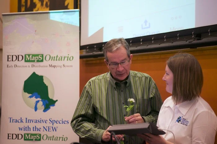

This morning at The Ontario Federation of Anglers and Hunters (OFAH), the recently released EDDMapS Ontario app was shown off to media. In partnership with the Ontario Ministry of Natural Resources, the Invasive Species Centre and the University of Georgia Centre for Invasive Species and Ecosystem Health, the EDDMapS Ontario app is a quick way to report invasive species. Alison Kirkpatrick (OFAH Monitoring and Information Specialist/Aquatic Invasive Species Outreach Liaison) walked the Hon. Jeff Leal, Peterborough MPP and Minister of Rural Affairs, through using the interface of the app, and he was able to photograph and 'report' a case of Garlic Mustard (Alliaria petiolata). The photo is uploaded, OFAH verifies it, then if it is accurate it is added to the database (Data can also be searched and downloaded).

The EDDMapS Ontario app builds on the existing online service, which includes 17,000 invasive species records. By using the app, you can make a report, search which invasive species have been reported near you, and learn more about them. The data collected will be used to better understand and combat invasive species before they become an "unmanageable problem".
Each individual species has their own profile (and a neat ability to search by common name or by scientific name) with photos to help you identify it, habitat, native range, and how it spreads.
With only a few taps, you can easily report (with GPS location)...
- Aquatic Plants
- Grasses
- Herbs/Forbs
- Shrubs
- Trees
- Vines
- Fish
- Invertebrates
EDDMapS is currently being used in quite a few States as well as in Alberta, Saskatchewan and Manitoba who will all be sharing data.
The EDDMapS Ontario app is available for free for both Apple iOS and Google Android.